

One Infrastructure,
Eight Different Roads.
We offer products to fleets, and adapt the same data layer to the needs of industries from insurance to urban planning.
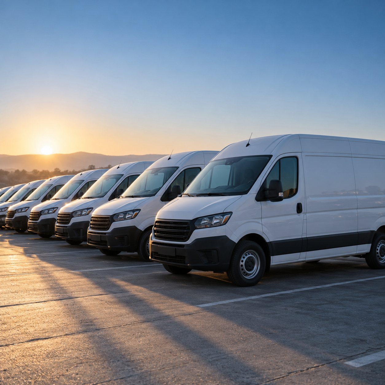
Fleets
One operations screen for vehicles, drivers and routes.
- Live map and event feed
- Trip tracking through the driver app
- Route planning and speed limit notices
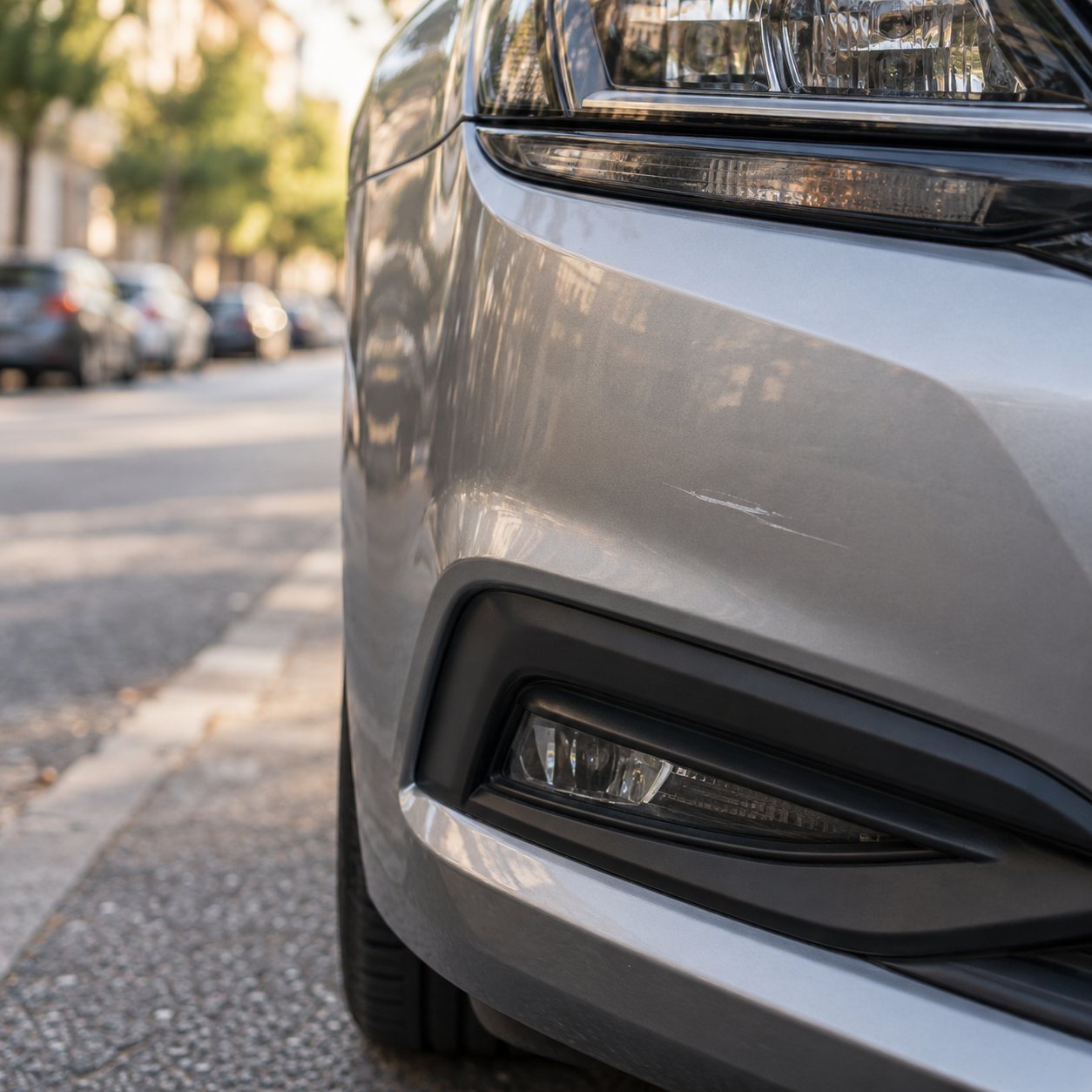
Insurance
Makes the driving behind the policy visible.
- Consent-based driving data
- An event record at the moment of a crash
- An event flow ready for the claim file
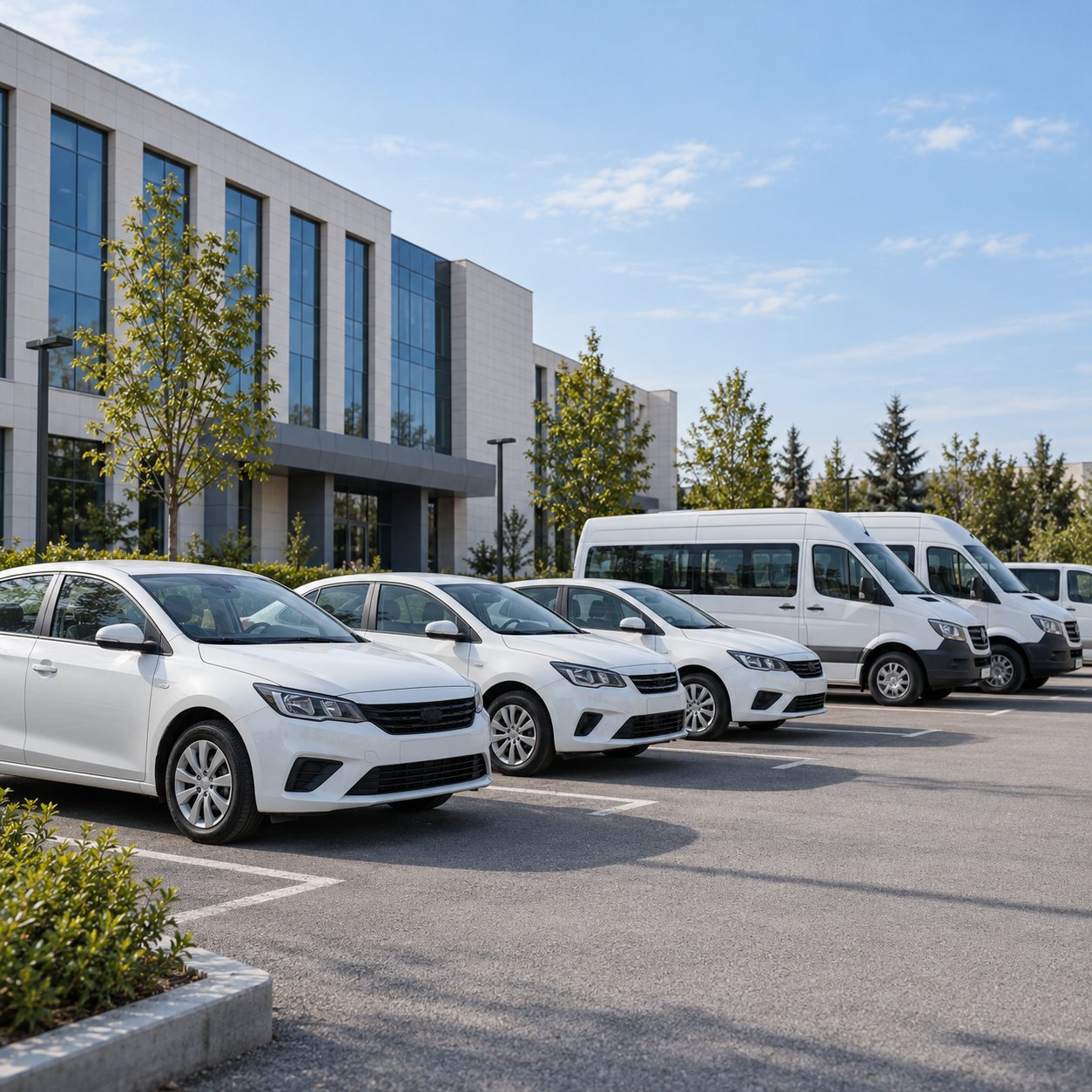
Car Rental
Records how a vehicle is used throughout each rental.
- A driving summary for each contract
- A record of the moment of damage
- Usage history for resale
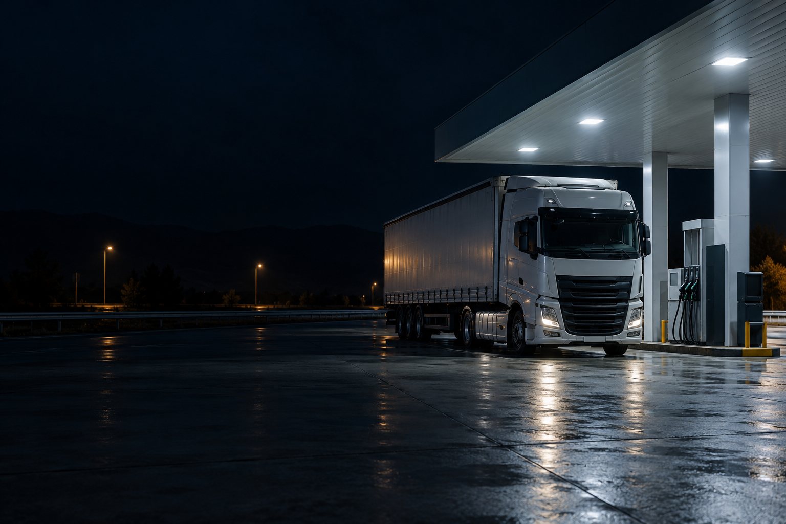
Logistics
A shared view of driver, route and cargo on long hauls.
- Route and rest stop tracking
- One screen for subcontracted vehicles
- Cold chain temperature monitoring (with an add-on sensor)
Couriers
A driving reading built for two-wheelers.
- A motorcycle driving profile
- Tracking for busy urban deliveries
- Fast alerts at the moment of a crash
Public Sector
Safe and accountable use of public vehicles.
- Vehicle usage records
- A separate driving profile for emergency vehicles
- A reportable event history
Municipalities
Puts road surface conditions and risky traffic spots on the map.
- A map of potholes and speed bumps
- A view of risky junctions and areas
- Tracking for service vehicles
Smart Cities
Turns a city’s movement data into planning.
- Traffic and context data
- Input for junction and signal planning
- Integration with existing systems through an API




Let’s Talk About
Your Industry.
If your use case is not on the list, we can still start with a conversation.